Leveraging Geospatial Data Applications for Smarter Decisions

In today’s fast-paced world, making smart decisions quickly is crucial. You need tools that help you understand your environment better and act with confidence. Geospatial data applications provide exactly that. They give you a clear picture of where things are happening and why. This insight helps you deploy your teams and resources more effectively, boosting both efficiency and revenue.
Understanding Geospatial Data Applications
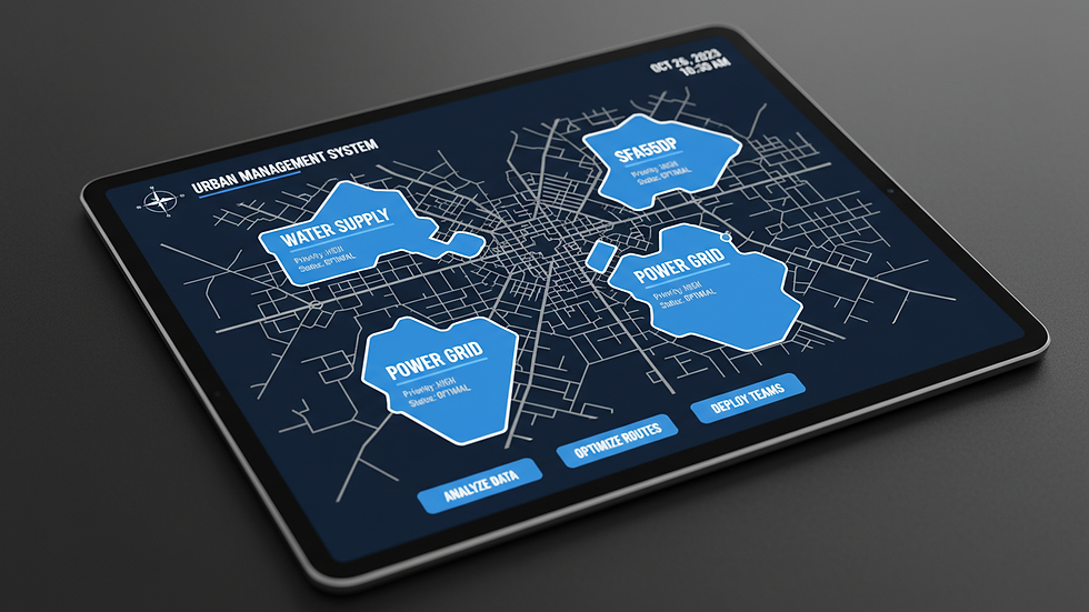
Geospatial data applications use location-based information to solve real-world problems. They combine maps, satellite images, and data points to create a visual story of your operational landscape. This story helps you see patterns, trends, and opportunities that might otherwise go unnoticed.
For example, if you manage a sales team, geospatial data can show you where your customers are clustered. You can then assign sales reps to territories that maximize coverage and minimize travel time. Similarly, law enforcement agencies can use these applications to identify crime hotspots and allocate patrols more strategically.
Here are some practical ways geospatial data applications can help you:
Optimize routes for field personnel to reduce fuel costs and increase productivity.
Analyze market potential by visualizing customer density and competitor locations.
Monitor resource deployment in real time to respond faster to incidents or opportunities.
Plan infrastructure by understanding geographic constraints and population distribution.
By integrating geospatial data into your decision-making process, you gain a competitive edge. You move from guesswork to data-driven strategies that deliver measurable results.

How Geospatial Data Applications Transform Operations
When you use geospatial data applications, you unlock a new level of operational intelligence. These tools help you answer critical questions like:
Where should I send my team next?
Which areas need more attention or resources?
How can I reduce costs while improving service?
For instance, a company with field technicians can use geospatial data to schedule visits based on proximity and urgency. This reduces downtime and improves customer satisfaction. Sales teams can identify underserved regions and focus their efforts there, increasing sales opportunities.
Law enforcement agencies benefit by mapping crime incidents over time. This helps them predict where crimes are likely to occur and deploy officers accordingly. It also supports community engagement by showing residents that resources are being used wisely.
To get the most out of these applications, consider the following steps:
Collect accurate location data from your teams and assets.
Integrate data sources such as customer databases, incident reports, and geographic information systems (GIS).
Use visualization tools to create easy-to-understand maps and dashboards.
Train your staff to interpret and act on geospatial insights.
Continuously update data to reflect changing conditions and improve decision-making.
By following these steps, you ensure your organization stays agile and responsive.

What MOS is 35G?
In the context of geospatial intelligence, MOS 35G refers to a Military Occupational Specialty focused on geospatial intelligence analysis. While this term originates from military classification, understanding its role can help you appreciate the depth of expertise involved in geospatial data applications.
A 35G specialist is trained to collect, analyze, and interpret geospatial information to support mission planning and execution. They use advanced tools to create detailed maps, identify terrain features, and assess potential threats or opportunities.
For your organization, this highlights the importance of skilled analysts who can turn raw geospatial data into actionable intelligence. Whether you have dedicated GIS professionals or rely on consultants, investing in expertise ensures you get accurate and timely insights.
This expertise translates into better resource allocation, risk management, and strategic planning. It also means you can trust the data you use to make critical decisions.
Practical Tips for Implementing Geospatial Intelligence
To leverage geospatial intelligence effectively, you need a clear plan. Here are some actionable recommendations:
Start small: Begin with a pilot project focusing on a specific area or team. Measure the impact before scaling up.
Choose the right tools: Select software and platforms that fit your needs and budget. Look for user-friendly interfaces and strong support.
Ensure data quality: Accurate and up-to-date data is essential. Establish protocols for data collection and validation.
Collaborate across departments: Geospatial intelligence works best when shared. Encourage communication between sales, operations, and security teams.
geospatial intelligence insights: Regularly review insights to adjust strategies and improve outcomes.
Train your team: Provide ongoing training to help staff understand and use geospatial data confidently.
Monitor and refine: Continuously assess the effectiveness of your geospatial initiatives and make improvements.
By following these tips, you create a culture that values data-driven decision-making and maximizes the benefits of geospatial intelligence.
Enhancing Efficiency and Revenue with Geospatial Intelligence
When you apply geospatial data applications thoughtfully, you unlock significant benefits. You improve how you deploy people and resources, which leads to:
Reduced operational costs through optimized routes and workload distribution.
Increased revenue by targeting high-potential areas and improving customer engagement.
Better risk management by anticipating challenges and responding proactively.
Improved team productivity with clear priorities and efficient scheduling.
Stronger community relations by demonstrating effective resource use and responsiveness.
These advantages align perfectly with your goal to boost efficiency and revenue. Geospatial intelligence is not just a technology investment; it’s a strategic asset that transforms how you operate.
By embracing geospatial data applications, you position your organization to thrive in a competitive environment. You gain clarity, agility, and confidence in every decision you make.
With the right approach, geospatial intelligence becomes a powerful tool in your arsenal. It helps you see the bigger picture and act with precision. Start exploring how these applications can enhance your operations today.


Comments