Harness Geospatial Intelligence for Smarter Decisions with Geospatial Data Analysis

In today’s fast-paced world, making smart decisions quickly is crucial. You need tools that help you understand your environment better and act with confidence. Geospatial data analysis offers exactly that. It lets you see patterns, trends, and relationships tied to locations. When you harness geospatial intelligence, you unlock powerful insights that can transform how you deploy your teams and resources.
Whether you manage field personnel, sales teams, or law enforcement agencies, using geospatial data can boost your efficiency and revenue. This post will guide you through the essentials of geospatial data analysis and how it can help you make smarter, data-driven decisions.
Understanding Geospatial Data Analysis for Smarter Resource Deployment
Geospatial data analysis involves collecting, processing, and interpreting data tied to specific geographic locations. This data can come from satellites, drones, GPS devices, or even mobile apps. By analyzing this information, you can uncover patterns that are invisible in traditional data sets.
For example, if you manage a sales team, geospatial data can show you where your customers are clustered. You can then assign sales reps to territories that maximize coverage and minimize travel time. Similarly, law enforcement agencies can use geospatial data to identify crime hotspots and allocate patrols more effectively.
Here are some practical ways geospatial data analysis helps:
Optimize routes for field personnel to reduce fuel costs and increase productivity.
Identify underserved areas where sales or services can be expanded.
Monitor real-time events like traffic or weather to adjust plans dynamically.
Visualize workload distribution to balance team efforts and avoid burnout.
By integrating geospatial data into your decision-making, you gain a clearer picture of your operational landscape. This clarity leads to smarter, faster, and more effective actions.
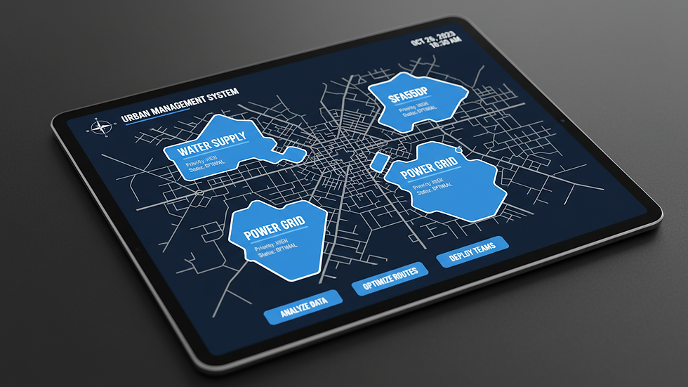
How Geospatial Data Analysis Drives Efficiency and Revenue Growth
When you apply geospatial data analysis, you’re not just looking at maps. You’re uncovering actionable intelligence that directly impacts your bottom line. Here’s how:
Territory Optimization
Assigning territories based on geographic data ensures your teams cover the right areas without overlap. This reduces wasted effort and increases customer engagement.
Workload Balancing
Geospatial insights help you distribute tasks evenly across your workforce. Balanced workloads improve morale and reduce turnover.
Risk Management
By mapping risks such as high-crime areas or natural disaster zones, you can plan safer routes and schedules for your teams.
Performance Tracking
Visualizing team performance geographically helps identify strong and weak spots. You can then tailor training or support where it’s needed most.
Customer Insights
Understanding where your customers are located and how they move allows you to tailor marketing and sales strategies effectively.
For example, a sales manager might notice that certain neighborhoods have low sales despite high population density. Geospatial data can reveal if these areas are underserved or if competitors dominate there. Armed with this knowledge, you can adjust your approach to capture new opportunities.
What MOS is 35G?
The Military Occupational Specialty (MOS) 35G refers to a Geospatial Intelligence Imagery Analyst. This role is critical in analyzing imagery and geospatial data to provide actionable intelligence. The 35G analyst interprets aerial and satellite images to identify enemy positions, terrain features, and other vital information.
Understanding the role of MOS 35G helps you appreciate the depth and precision involved in geospatial intelligence. These analysts use advanced tools to transform raw data into clear, concise reports that support mission planning and execution.
In your context, while you may not be analyzing military imagery, the principles remain the same. You gather geospatial data, analyze it carefully, and use the insights to make informed decisions that improve operational outcomes.
Practical Steps to Implement Geospatial Intelligence in Your Organization
If you want to harness geospatial intelligence insights effectively, follow these steps:
Identify Your Data Sources
Start by listing all available geospatial data sources. This could include GPS tracking, customer addresses, traffic data, or environmental sensors.
Choose the Right Tools
Select software that fits your needs. Look for platforms that offer easy visualization, real-time updates, and integration with your existing systems.
Train Your Team
Ensure your staff understands how to interpret geospatial data. Training helps them use the insights confidently and accurately.
Integrate Data into Workflows
Embed geospatial analysis into daily operations. For example, use maps in planning meetings or route optimization tools in dispatch centers.
Monitor and Adjust
Continuously review the impact of geospatial intelligence on your decisions. Adjust strategies based on what the data reveals.
By following these steps, you create a culture that values data-driven decision-making. This culture leads to smarter deployment of people and resources, ultimately boosting efficiency and revenue.

Unlocking the Power of Geospatial Intelligence Insights
To truly benefit from geospatial intelligence, you need to go beyond just collecting data. You must analyze it deeply and apply the findings strategically. This is where geospatial intelligence insights come into play.
These insights help you:
Predict trends by analyzing historical and current data.
Make proactive decisions rather than reactive ones.
Enhance collaboration by sharing visual data across teams.
Improve customer satisfaction by responding faster and more accurately.
Imagine a law enforcement agency using geospatial intelligence to predict where crimes are likely to occur next. They can deploy officers proactively, reducing incidents and improving community safety. Similarly, a sales team can identify emerging markets and focus efforts where growth is most promising.
The key is to treat geospatial intelligence as a strategic asset. Use it to guide your decisions, not just to support them.
Moving Forward with Confidence and Clarity
Harnessing geospatial intelligence through effective data analysis is no longer optional. It’s a necessity for organizations that want to stay competitive and efficient. By adopting these practices, you position yourself to make smarter decisions that optimize your workforce and resources.
Start small if needed. Experiment with mapping tools or pilot projects. As you gain confidence, expand your use of geospatial data to cover more areas of your operations.
Remember, the goal is clear: boost revenue and efficiency by optimizing territory and workload distribution. Geospatial data analysis is your pathway to achieving that goal with precision and confidence.
Take the first step today and watch how smarter decisions transform your organization’s performance.


Comments